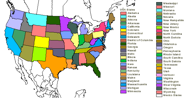
Choropleth maps portray quantitative data as a color showing the density, percent, average value, or quantity of a phenomenon within the boundary of a geographic area. In an unstandardized choropleth maps only the raw numbers are utilized therefore they are the only ones displayed. Because of this the map data that is displayed is not an average but only the raw data. The variables themselves don’t vary as there is no specific ranking assigned to the any of the variables, in other words, neither of the categories is higher or lower than the other. This particular map portrays all of the states of the United States. Neither of them are attributed a higher value then any of the others but they are all portrayed in a different color, this is a great example of an unstandardized choropleth map.
No comments:
Post a Comment